A Week in the Faroe Islands
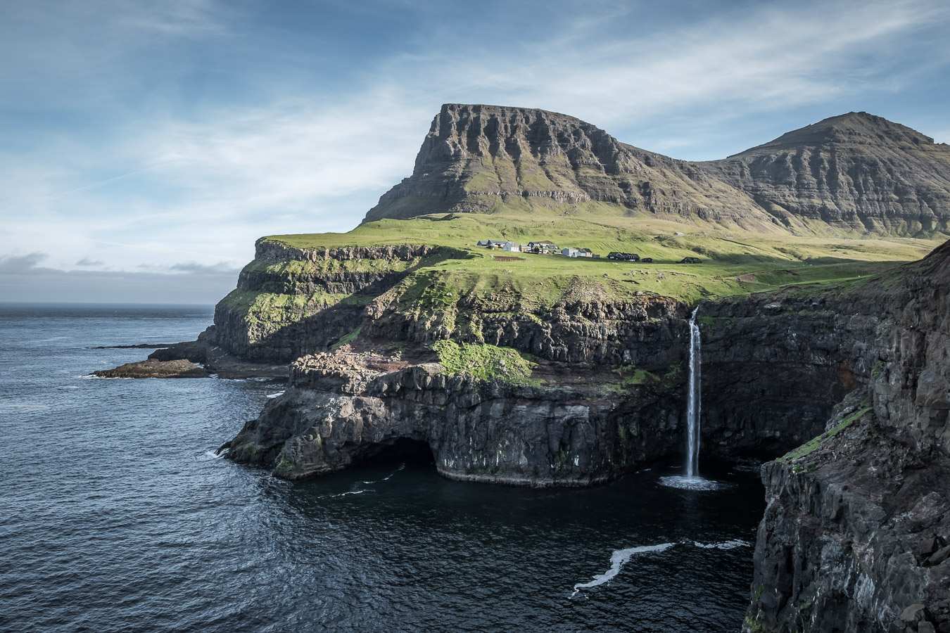
The Faroes are rapidly becoming one of those bucket list destinations for photographers, though not yet to the same extent as Iceland or Lofoten. So when a (non-photographic) friend who had been there twice before asked if I was interested in joining him on a third visit it seemed too good an opportunity to miss. We decided to hire a car for the week to give us maximum flexibility and stayed mostly in self-catering accommodation booked through Airbnb. The first three nights were in Klaksvik, the Faroes second largest town, in the Northern Islands, followed by three nights in the capital Torshavn. The last night we stayed in Gásadalur, a small village not far from the airport which was only connected to the road system in 2004 via a 1.7km tunnel. This is where possibly the Faroes most iconic (clichéd?) image is to be found. It has even appeared on a Faroese stamp. More of that later.
Our car hire was arranged through Hotel Streym in Torshavn as they seemed to offer the best deal, however after spending a good half hour searching the car park for the vehicle described in their email we had to admit defeat and got the lady in the Tourist Office at the airport to phone the hotel to see what was happening. It turned out our car was not ready yet so we had about an hour to wait until a different vehicle to the one promised in the email was delivered to the airport front entrance. The car was fine though so we loaded up our bags and set off on the approximately one hour drive up to Klaksvik. Here we were staying in a small self catering flat close to the town centre hosted by a young local family. Entertainment was supplied by the occasional antics of a pet lamb they kept in the small garden.
The first day I was keen to climb Villingadalsfjall at the northern end of the neighbouring island of Vidoy which is connected to Klaksvik by tunnels and a causeway. The whole of the Faroes is a miracle of civil engineering really, with most of the larger islands connected by sub-sea tunnels, bridges and causeways, with more under construction and planned in the next few years. My friend had been to this area before so dropped me off in the car and went off to do other things. I would make my way back to Klaksvik by bus. The route up the hill is clearly marked by blue poles. Walk uphill from the highest part of the village of Viðareiði and when the road ends carry on up the path with the field wall on your left. At the top of the wall go through a gate and follow the blue poles from there. The climb begins relatively gently but gets progressively steeper as you gain height. Eventually after really quite a steep, rocky section the angle eases and you will see a line of cairns traversing off to your left. These lead to the cliff of Enniberg, said to be one of the highest in Europe. I carried on climbing to reach the top of the hill. Needless to say this is a great viewpoint, the most northerly mountain in the Faroes.
I walked along the edge of the cliff towards Enniberg but did not go all the way to the end as I had a bus to catch. I picked up the line of cairns that I knew led back to the way I had come up and followed them to rejoin the route I had taken on ascent. I arrived back at the bus stop outside the Hotel Nord in Viðareiði with 15 minutes to spare. It turned out I was the only passenger and spent the journey back to Klaksvik chatting with the driver about life in the Faroes and the time he had spent on a fishing boat working out of Aberdeen.
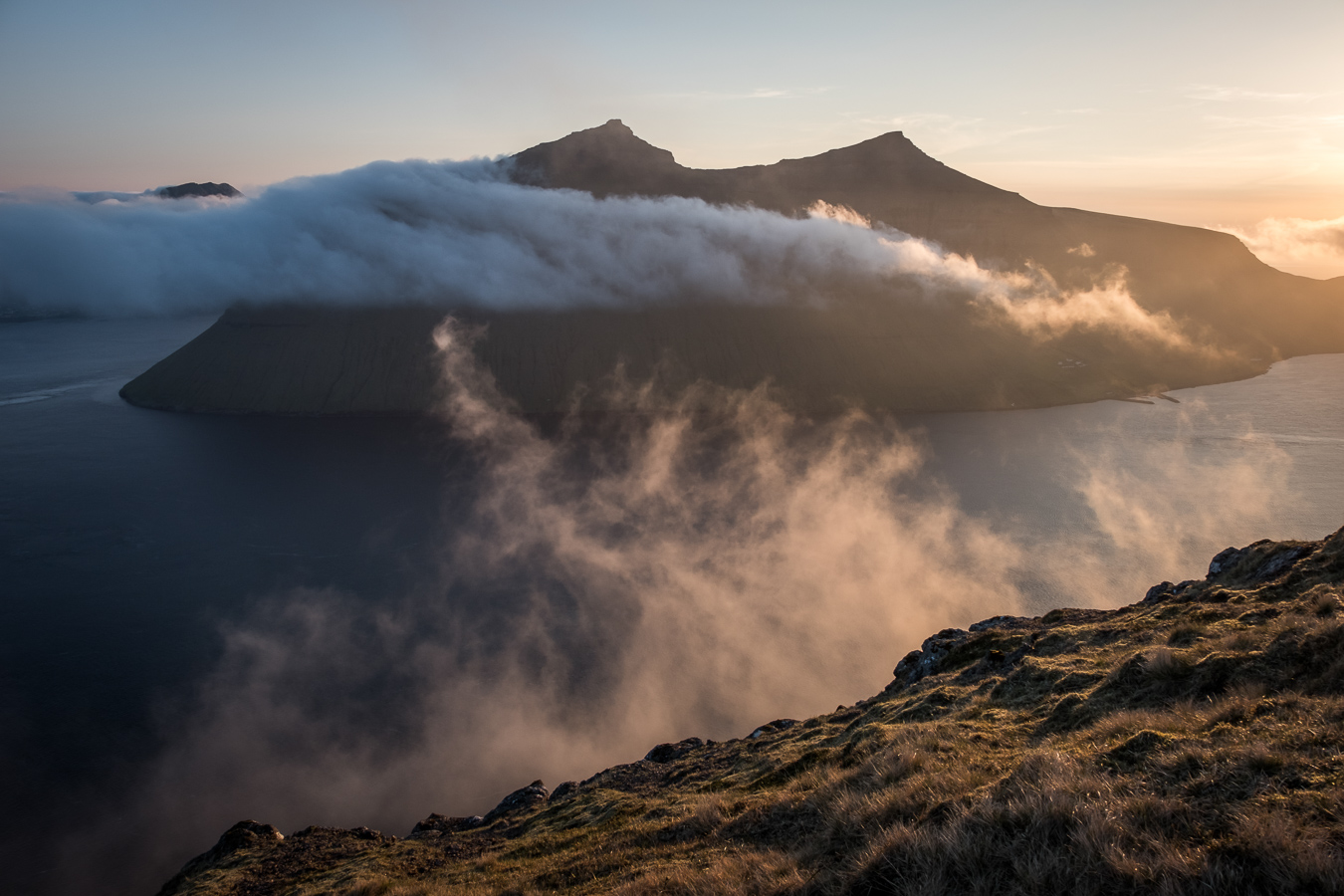
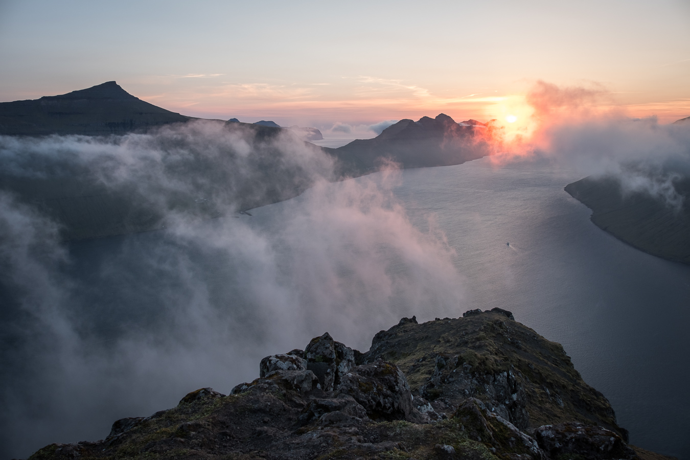
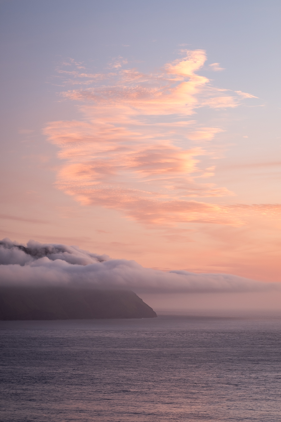
That evening the weather was still fine so after dinner I took a trip up to the small mountain top of Klakkur above Klaksvik. There is an unmade road most of the way which you can drive up with care, followed by a 30-45 minute walk to the top which is a spectacular viewpoint. Here I was treated to a rather atmospheric sunset as the sun dropped down behind the northern tip of Kalsoy.
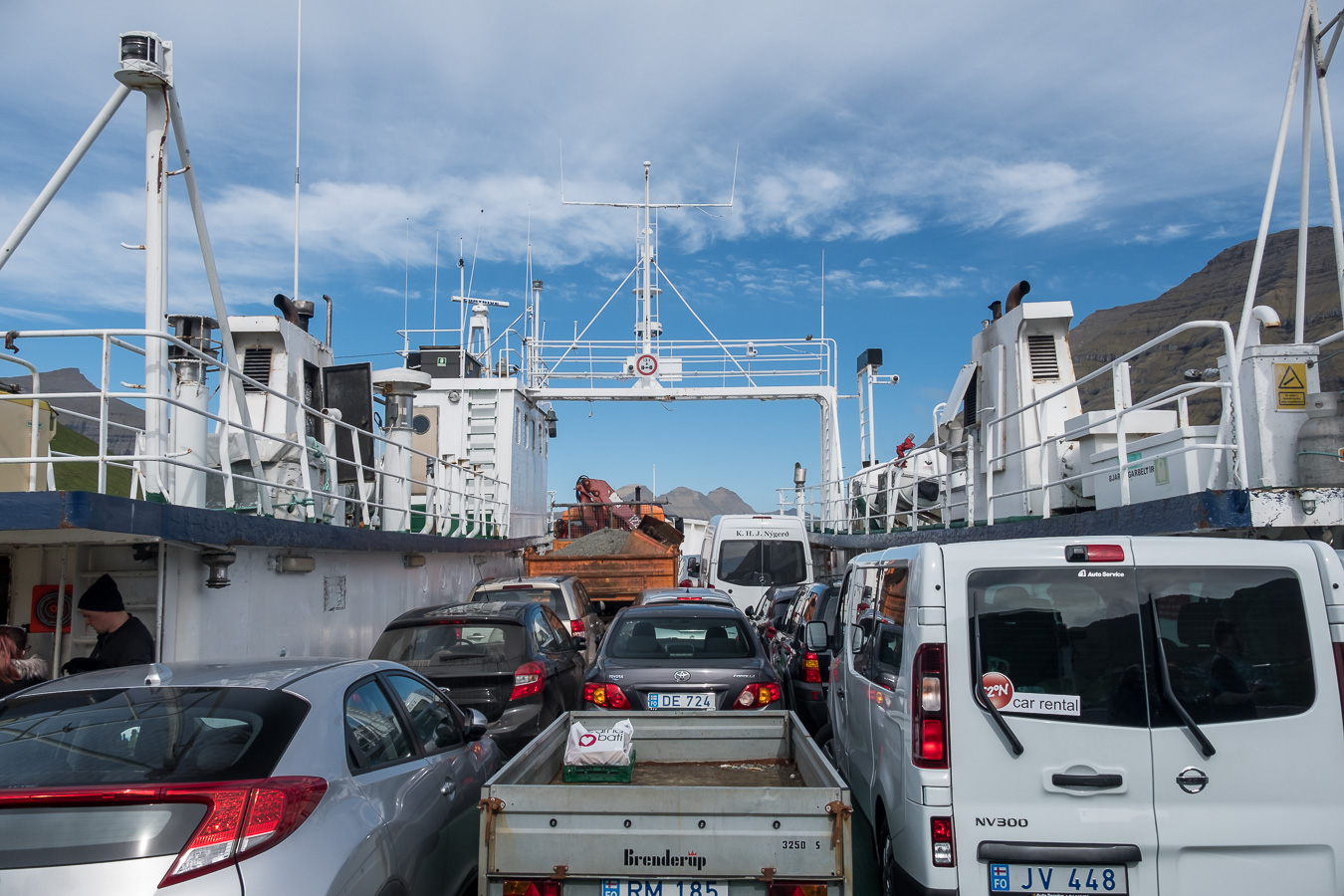
Our plan for the next day was a visit to Kallur lighthouse at the northern end of the neighbouring island of Kalsoy, reached by a short ferry from Klaksvik. We had heard this was quite a popular trip and were advised by our hosts to arrive at the ferry terminal in good time. We arrived about 45 minutes before the ferry was due to sail to find we were already in the third line of cars waiting to get on what looked like quite a small vessel. It seemed unlikely there would be enough space for all the cars and lorries in front of us so we were rather surprised and relieved when we managed to sqeeze on as the second last vehicle to be loaded. If you are planning on doing this trip and are of a nervous disposition I would advise arriving at least an hour before the ferry is due to leave during the summer months.
The island of Kalsoy is long and thin and has just a single road running along it’s length connecting the various villages. It is also extremely mountainous and so a series of tunnels have been drilled to take the road from one end to the other. The thing about these tunnels is that they are single track, with passing places carved out of the tunnel walls at various intervals. Signs at the entrance indicate which direction of the traffic has priority. So if you don’t have priority and you see headlights approaching, you have to pull into one of the passing places in the side of the tunnel to let the oncoming vehicle pass. It seems like a straightforward system, but is a little nerve-wracking the first time you see those headlights approaching in the darkness.
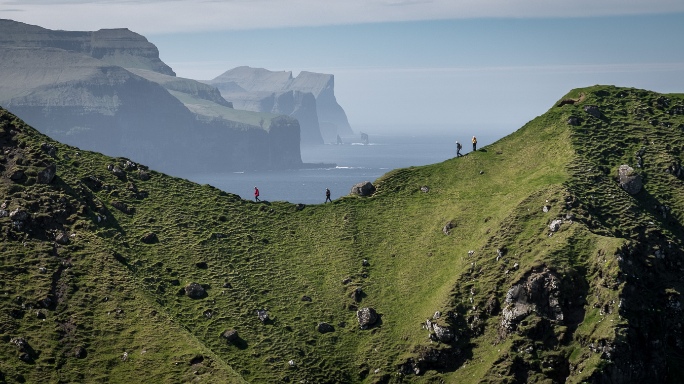
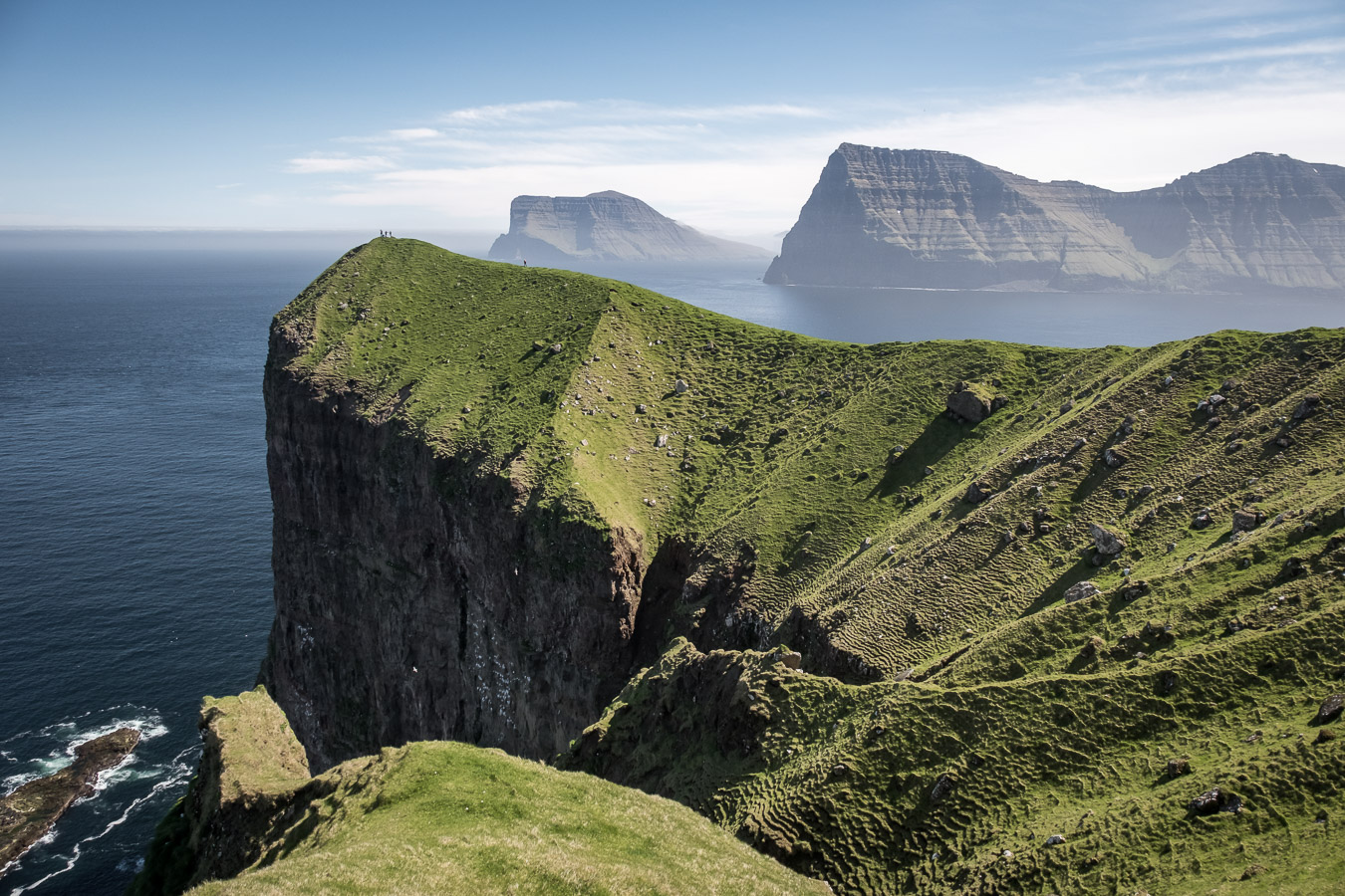
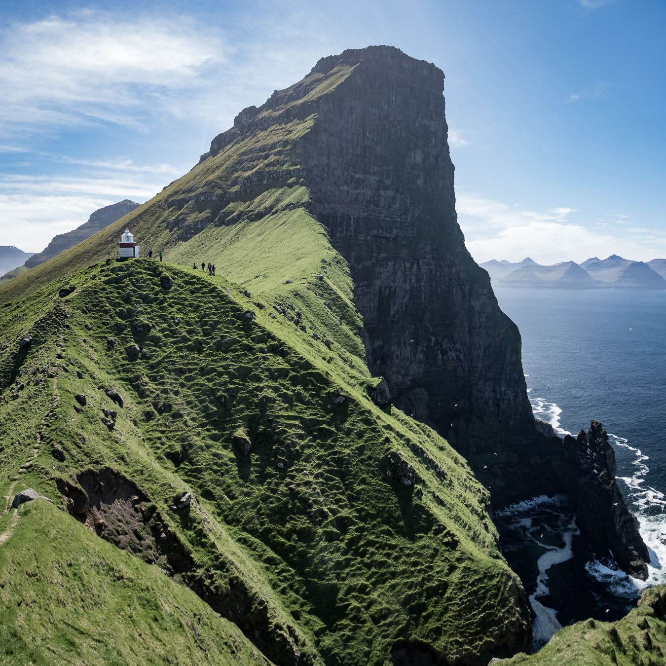
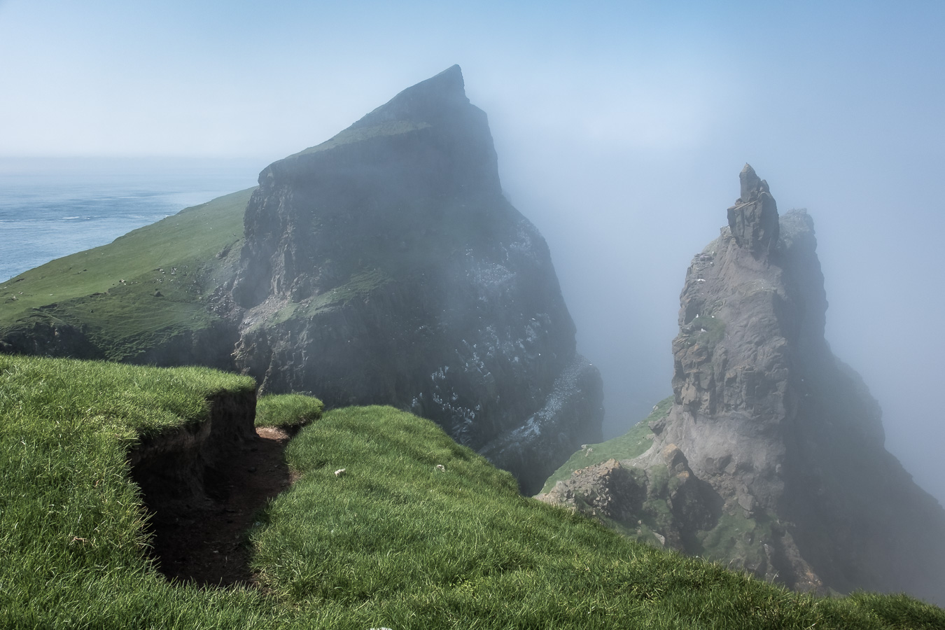
After I think four tunnels we arrived at the village of Trollanes where the walk to the lighthouse begins. It takes about 45 minutes on a clear grassy path until you arrive at what must surely be one of the Faroes most epic viewpoints. The lighthouse is situated at the northern end of the island with an enormous cliff face rearing up behind it and views of the northern tips of Kunoy and Vidoy in one direction and Esturoy in the other. Photographers should make sure they bring a wide angle lens as the scale of the place is quite enormous. Narrow grassy ridges lead out to viewpoints in a couple of directions so we spent some time having lunch and exploring in the beautiful sunshine.
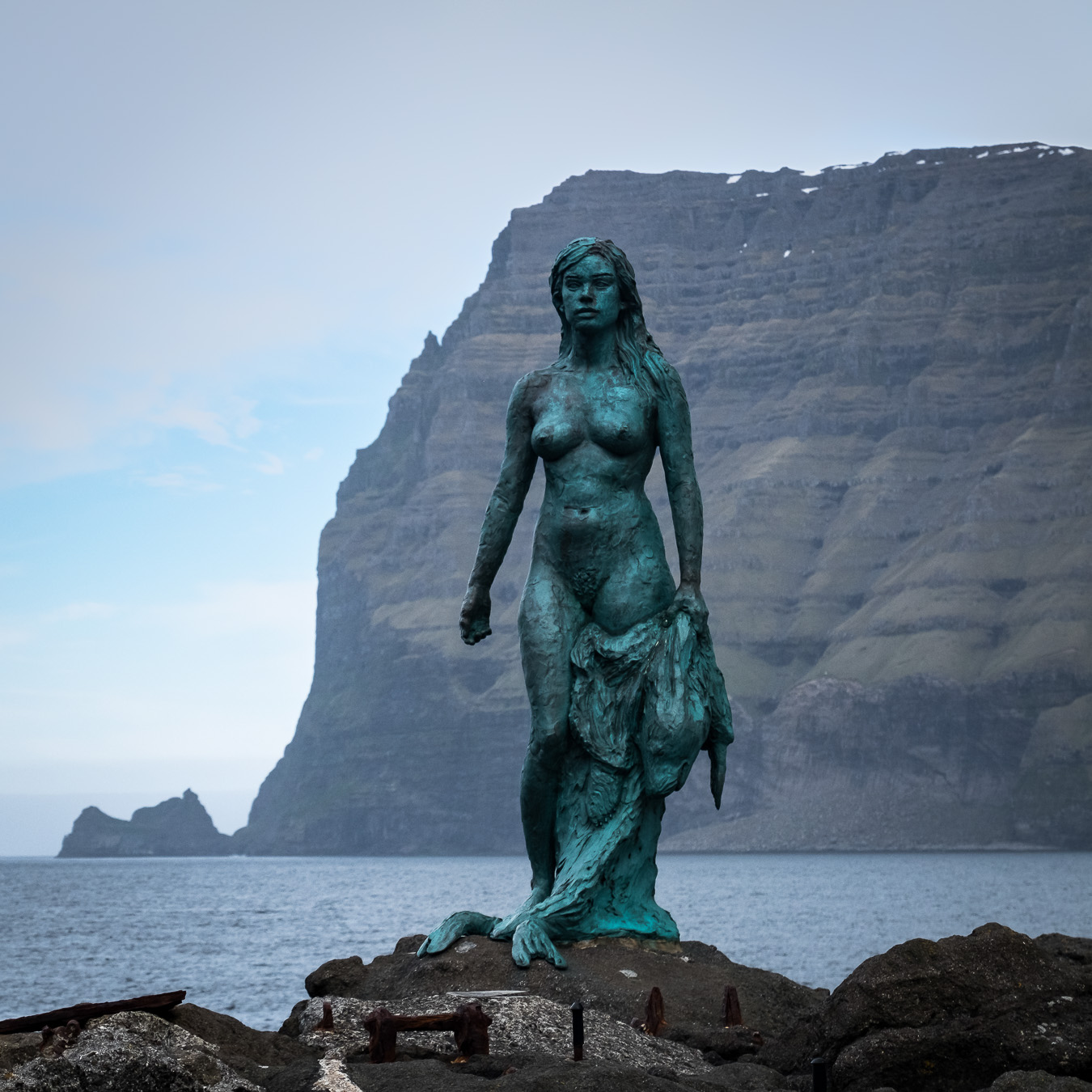
On our way back we diverted to the next door village of Mikladalur where there is a bronze statue of a Seal Woman or Selkie on the shore (the Kópakonan). This commemorates the local folk tale of a seal that can shed it’s skin and become human for a while. Unfortunately the story here does not have a happy ending; you can read it on an information board if you go and visit. It is interesting that versions of this same story exist in coastal areas of Scotland and Ireland, possibly brought there by the Vikings. The Faroes also have a version of the Scottish Kelpie legend, the malicious water horse that tempts men onto it’s back and carries them underwater to their death.
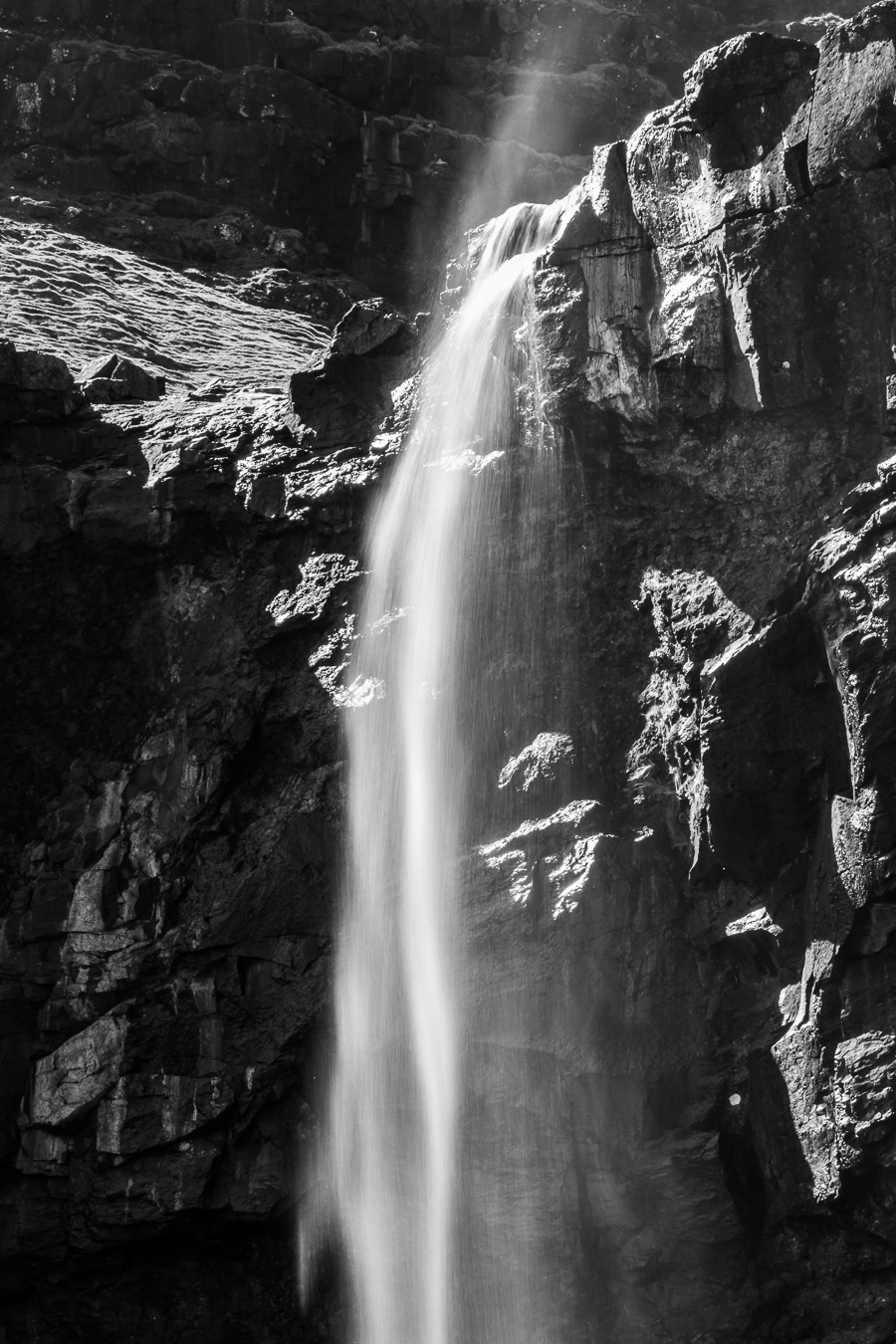
Day 3 was to be a bit of a touristy day as we left Klaksvik heading eventually for Torshavn. We drove to Tjørnuvik, stopping off at Fossa, the Faroes highest waterfall for a few photos on the way. The Faroes had been enjoying an unusual period of settled sunny weather so it hadn’t rained in a while, which meant the waterfall wasn’t at its best. Nonetheless it was still an impressive sight and well worth exploring.
In fact the weather remained calm, dry and mostly sunny the whole week, which put paid to the moody, stormy Faroe photos I was expecting to get. Only photographers complain about blue skies and sunshine! The waterfall drops over two tiers of rock and we tried to follow the route onto the middle tier between the two falls but found it too much of an exposed scramble over steep ground with some big drops.
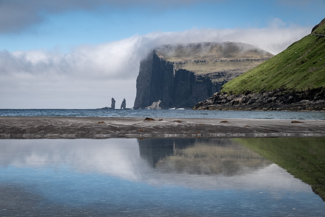
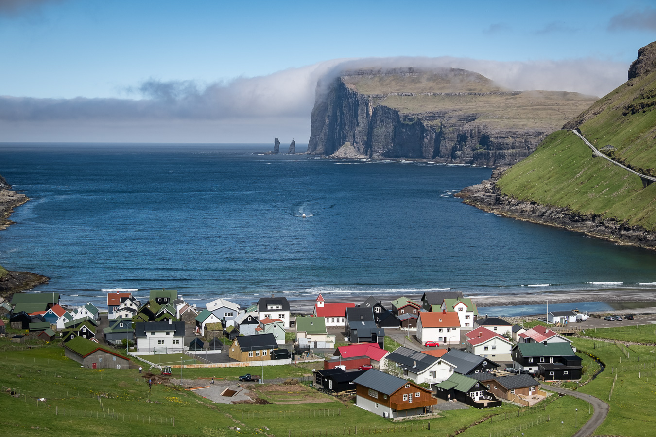
Tjørnuvik turned out to be a beautiful village enclosed between mountains and with a nice sandy beach popular with surfers apparently. It is probably most famous for the view of the two sea stacks Risin and Kellingin. We walked uphill out of the village part way up the track leading towards Saksun, which gave great views back over the bay.
Coming the other way we met a young Korean lady we had spoken to at Kallur lighthouse a couple of days before. She was walking through the mountains from Saksun to Tjørnuvik and hadn’t yet worked out how she was going to get back to her car in Saksun. As we were on a touristy sort of outing, it was decided a short detour to Saksun wouldn’t be such a bad thing if it solved our new friend’s logistic problem. Before leaving, we paused in the sunshine outside a small souvenir shop in the centre of the village where a local was selling coffee and waffles. Cafes are not that widespread in the villages so you have to take every chance you can get.
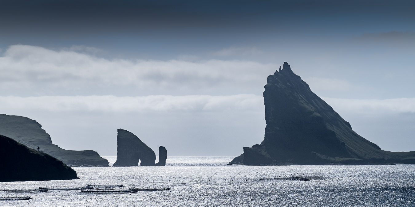
The next day we had booked a boat trip to one of the Faroes most popular destinations, the island of Mykines (pronounced “Mitchin-ess”). This is the most westerly of the Faroes and known for it’s breeding colonies of puffins, gannets and other bird life. The boat from Sorvágur was packed with tourists so advance booking is essential (see www.mykines.fo). There is also a fee of about £12 for a walking permit on the island (May to August only) which you can pay in advance online at www.hiking.fo. The crossing takes about 40 minutes and is a scenic cruise in it’s own right, passing sea stacks and the amazingly profiled island of Tindhólmur.
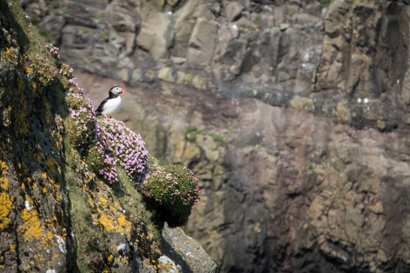
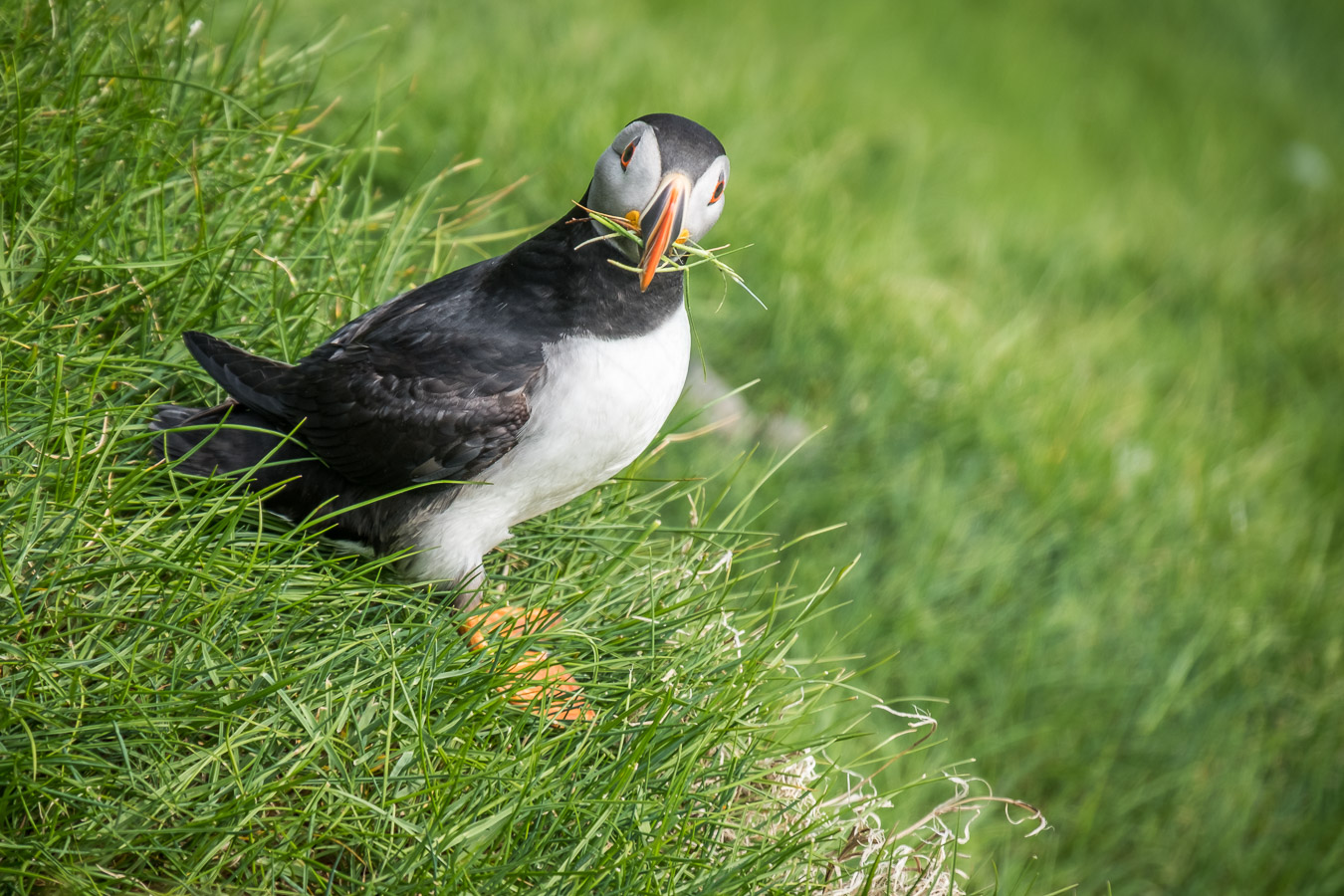
Once on the island, the most popular walk is out to the lighthouse at the western end, passing over a bridge between the main island and Mykineshólmur it’s smaller neighbour. Just before crossing the bridge, the path drops down a grassy slope where the main puffin colony is situated. The ground is covered in small burrows where the puffins have built their nests and the air is filled with puffins flying low over your head as they head out to sea and back again. They were quite unconcerned with the people passing nearby and by sitting quietly for a while, eventually a puffin would land a few feet away or pop up out of a nearby burrow.
There is a small village on the island with a cafe and a hostel for overnight stays, though it is recommended not to visit the day before you are due to fly home as the unpredictable weather can make getting on and off the island difficult.
The next day my friend opted for a rest day so I set off in the car to explore the photo opportunities. Initially the weather around Torshavn was grey and misty but as I headed north west things began to improve and it became clear that the overcast weather was just a localised low lying haar.
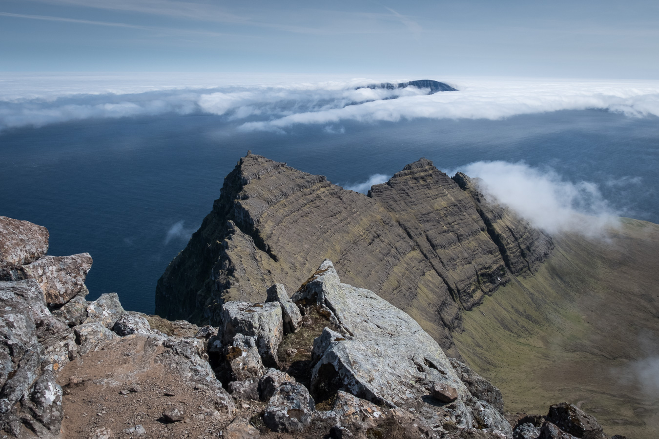
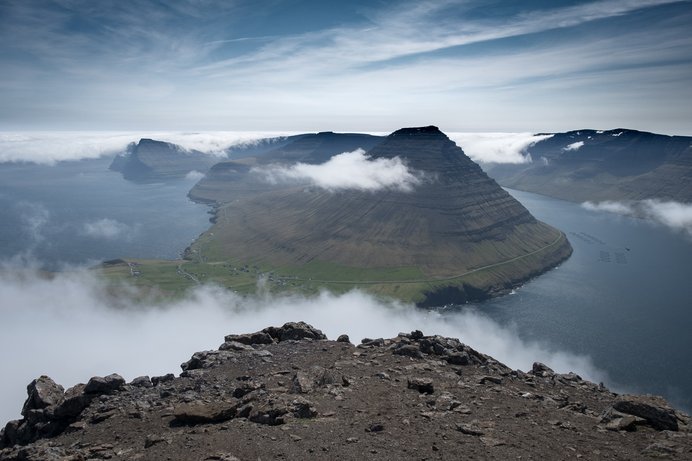
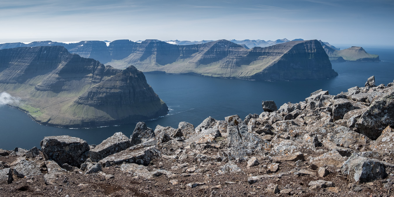
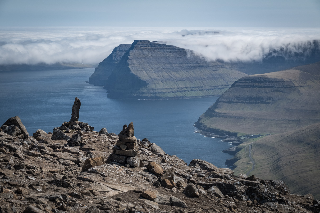
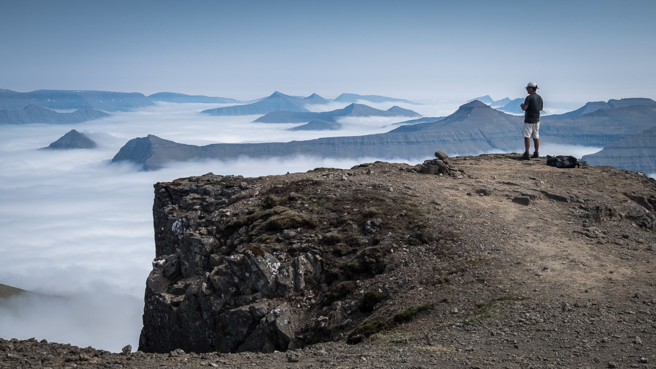
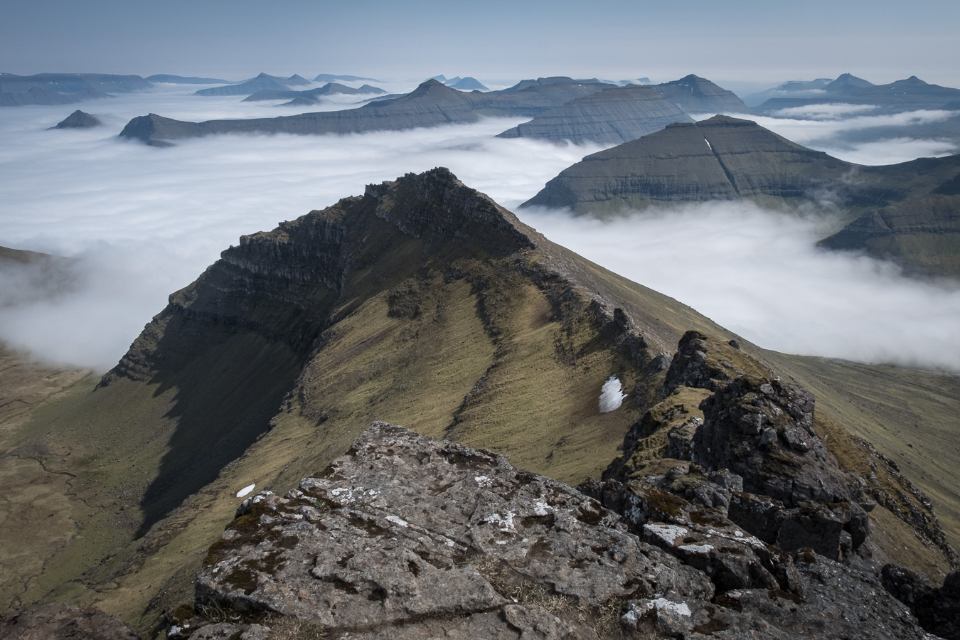
The further away from Torshavn I went the better the weather became until it was all blue skies and sunshine again. It was then that I realised this would be a good opportunity to climb Slætteratindur, the Faroes highest mountain at 880m. Slætteratindur is situated at the northern end of Eysturoy between the villages of Funningur and Eiði.The drive from Funningsfjørður past Funningur to the top of the pass where the ascent begins is quite spectacular with hairpin bends and an alpine-like feel. Fortunately the road over the pass climbs to about 400m so the ascent is easier than it might appear. I arrived at the start of the walk at about 12 noon and found a large parking area with about a dozen cars already there and space for plenty more. Initially the climb goes straight up the hillside on a reasonable path, getting steeper with height. It continues like this for about 45 minutes and begins to feel like a bit of a slog but then the path turns left and begins a more gently rising traverse towards the summit of the mountain and this section is much more pleasant to walk. The actual summit is guarded by steep crags so the route goes round the back of the mountain to find a break in the crags at a corner of the summit plateau where a short scramble up a rocky staircase provides access to the top. I arrived to find the summit deserted apart from a lone Australian who said it was his third ascent of the mountain that week!
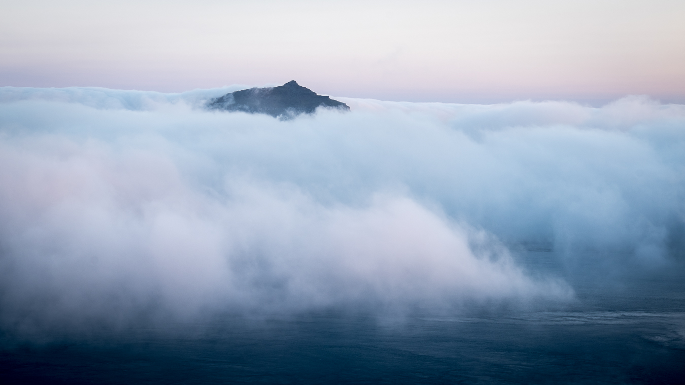
The summit area as I said is actually a large plateau with steep cliffs all round with the exception of the small corner where the path comes up, so it is a good idea to make a careful mental note of that spot for the descent. The views from the edges of the plateau were magnificent with cloud filling all the valleys and just lapping up to the pass from where the ascent began.
After soaking in the views in all directions I began the descent back the way I had come. Care was needed in one or two places as it would have been easy to slip on some of the rocky slabs covered in stones and fine gravel. Once back on the traverse path the going became easier and I was soon back at the car, passing several local families with kids on the way up on their Sunday afternoon outings. Given that I had left Torshavn on a rather foggy morning with no particular plan, I was pleased to have climbed Slætteratindur in such great conditions.
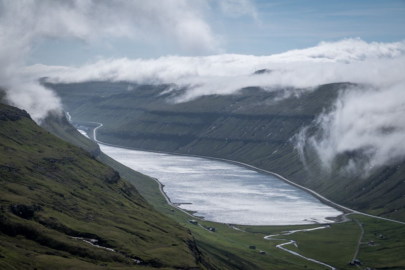
It was now our last day in the Faroes and we had booked the last night in the guesthouse at Gásadalur on the west side of Vágar, not far from the airport. As I said earlier, Gásadalur was until recently only reachable by helicopter or on foot via a steep mountain path. However in 2004 a new tunnel was built through the mountain to link it’s 18 residents to the road network. Rather than driving direct to Gasadalur we decided to take the scenic route and then do a couple of short walks on Vágar first. We began by taking the old mountain road out of Torshavn in the hope of getting some views. Unfortunately we were soon in the mist which still enveloped this part of the islands. After a few miles however, conditions began to improve and we were treated to a fine view of Kaldbaksfjørður far below us.
We were now not far from the single track mountain road up Sornfelli which serves a military radar station on the 749m summit so decided to take a look up there. The road is narrow, steep and winding with passing places but is well surfaced with tarmac. I wouldn’t want to take a campervan up there though. The very summit of the mountain is occupied by the radar installation and is off limits to the public, but there is a large car park just below. Unfortunately the view to the west was obscured by cloud when we got there but we got some decent views to the south and east. Retracing our route back down the single track road, we continued our journey towards Gásadalur.
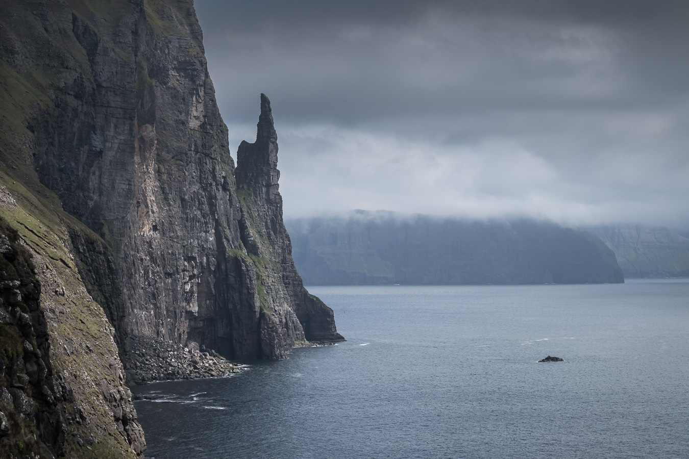
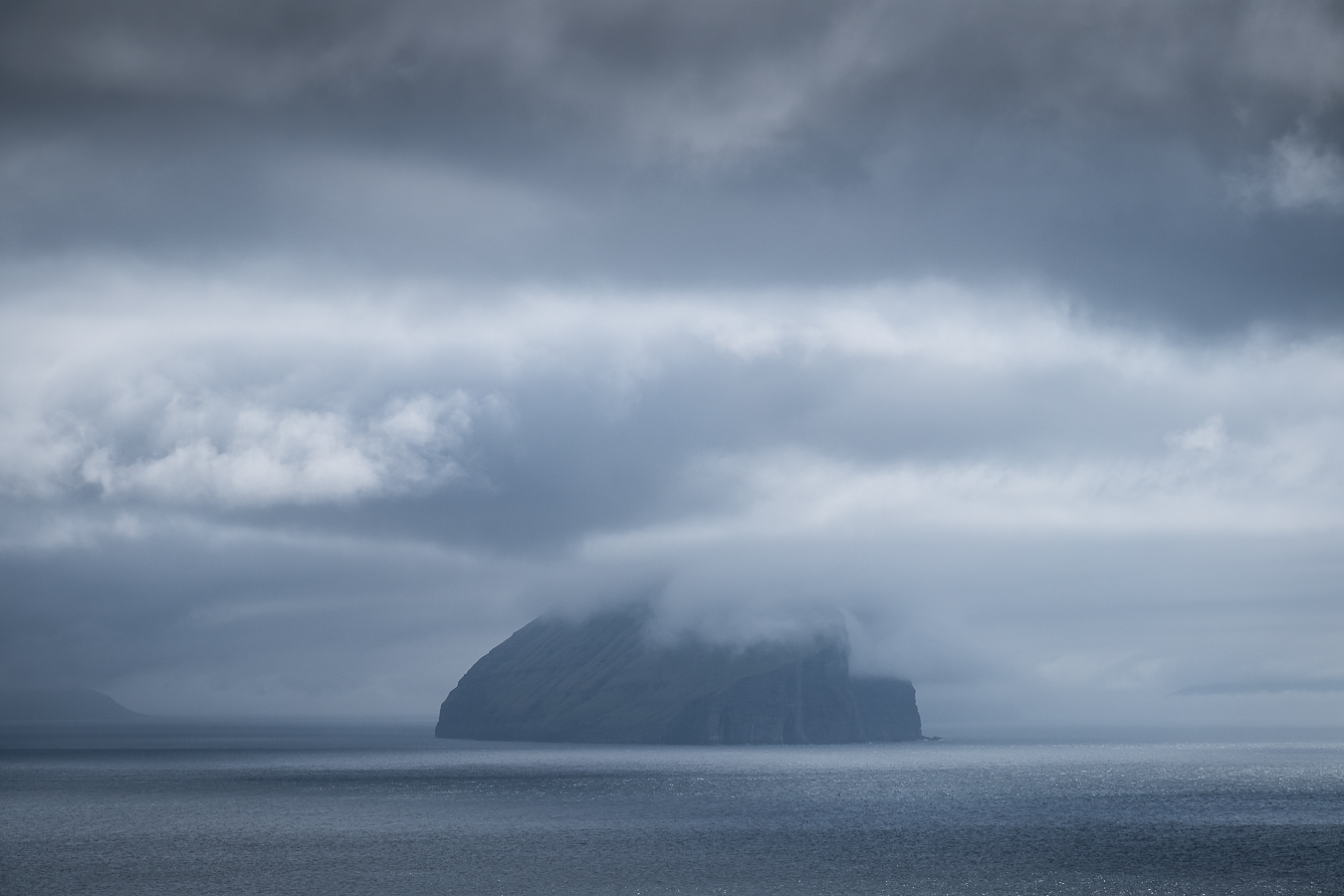
First we made a short detour near Sandavágur to see the Trøllkonufingur or Witches Finger, a free standing rock detached from the cliff face. There are also good views out to the island of Koltur which looks quite dramatic from here.
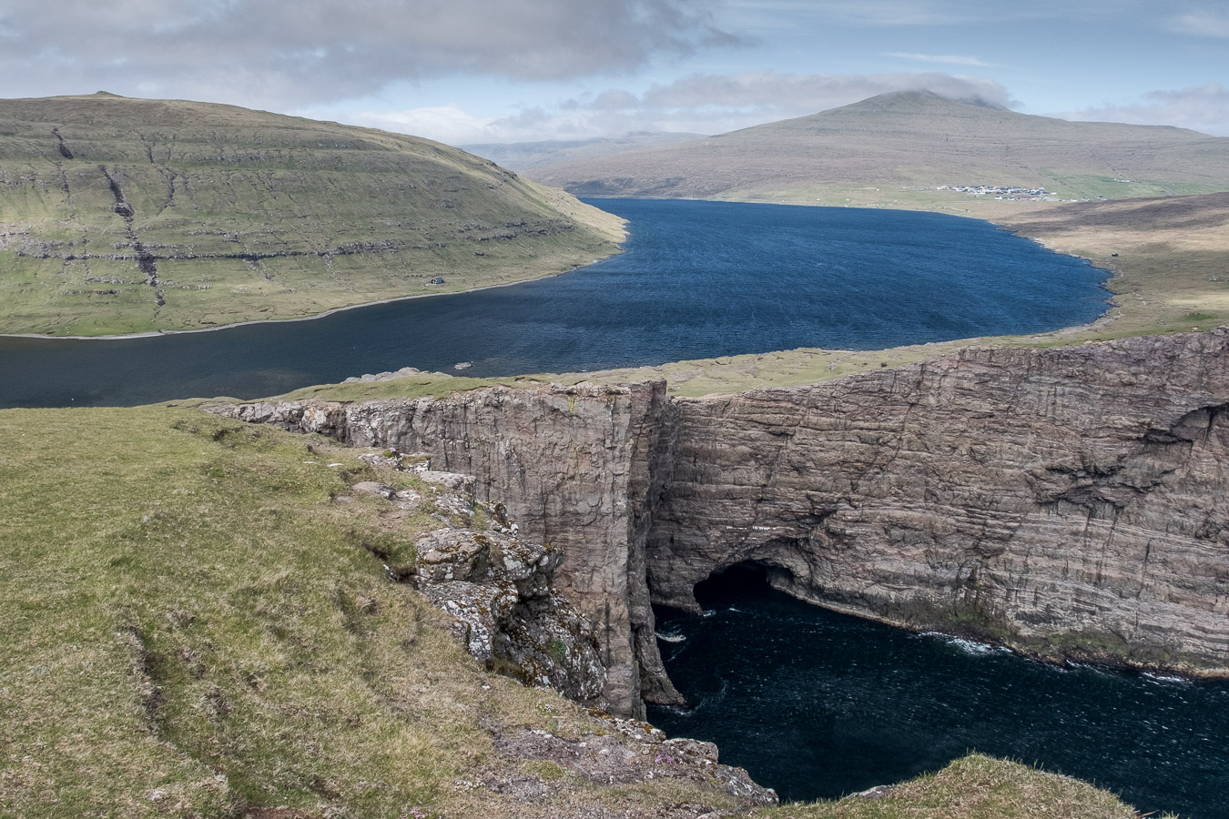
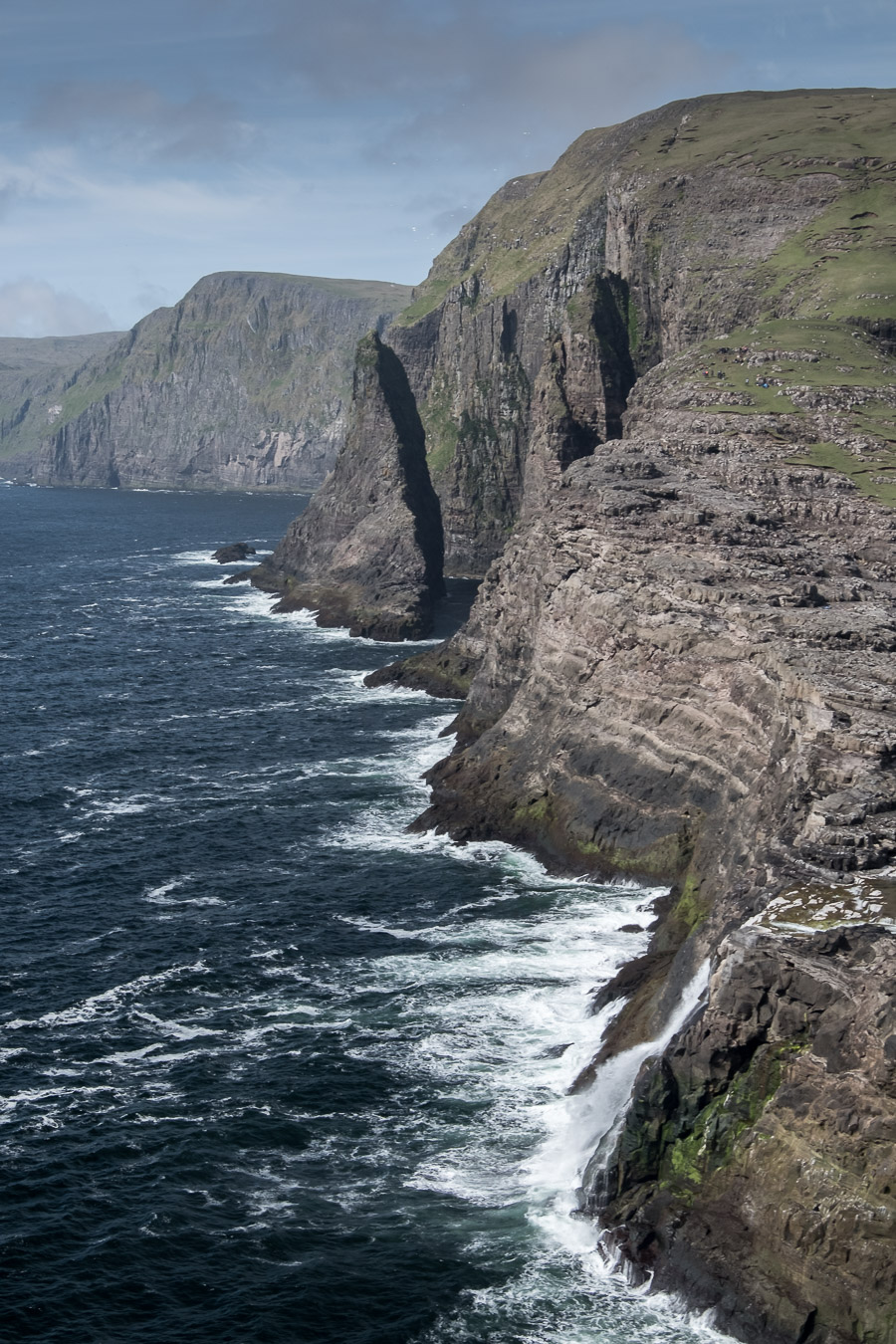
From there we drove to Miðvágur and walked along the side of Sørvagsvatn to see the cliffs at Trælanipa and the Bøsdalafossur waterfall. This is one of the other “iconic” locations you will see in all photos from the Faroe islands and well worth a visit. It took about an hour to walk along a pleasant path on the lake side followed by a short ascent to the cliff top viewpoint. The classic view is from the cliff looking back over the lake which almost seems to float above the sea. I then descended along the cliff edge towards the lake to get a better view of the waterfall.
There are stepping stones across the river where it leaves the lake before plunging over the cliff but when I got there there was a boat moored on the other side and a rope across the stepping stones with signs saying No Entry. I could see a crowd of people on the other side who had obviously arrived on the boat and were on some kind of excursion, so maybe they wanted exclusive access to that side of the river. The best view of the waterfall and nearby cliffs was actually from the side I was on so I wasn’t too bothered, but it seemed a little strange to restrict access in such a way. Maybe there is no problem crossing when the tour boats are not there.
It was 4pm by the time we were back at the car so we continued our journey to Gásadalur. After settling in to the guesthouse and having a meal in the attached restaurant we spent the evening exploring around the local village paths and finishing with a nice sunset over Mykines to the west.
The famous viewpoint around here is from the top of the steps that lead down to the shoreline and shows the village and surrounding mountains with the waterfall Múlafossur in the foreground. I had a look at this during the evening but the sun was setting behind the village leaving the valley and surrounding mountains in shadow, so I decided to get up early the next morning and hope that the sun would rise above the surrounding high mountain ridges before we had to leave for the airport. I got up at 7am and walked the few minutes downhill to the viewpoint. Fortunately as I was setting up the tripod the sun began to rise above the surrounding mountains bathing the valley in light. I managed to take a few images from here and from another point lower down on the rather steep steps just as the light was glancing across the cliffs and before the shadows became too harsh.
By 9am we were packed up and leaving Gásadalur for the airport. I was pleased to have spent the night there as the lighting during that morning and the previous evening were completely different, though each photogenic in their own way. We had been blessed with amazingly good weather all week, completely dry, light winds and mostly sunny, very unusual by Faroes standards. Despite not coming back with the expected images of cloudy skies, stormy seas and raging waterfalls I had a great time and would definitely consider coming back (maybe in March or October next time!). Plus there are quite a few interesting viewpoints I didn’t have time to get to, so maybe a return visit will be on the cards.

June 23, 2018 @ 8:49 pm
Very informative blog with some stunning pictures. Certainly doesn’t look like the clear weather hindered the epicness! Great to read.